Hiking the Kapalama Trail to Puu Lanihuli

Puʻu Lanihuli: A Majestic Sentinel, Towering Boldly Over the Koʻolau Range
Activities featured in this post.
Post updated: November 05, 2025
Tucked away on Kapalama ridge in Alewa Heights above Honolulu, the Kapalama Trail offers a challenging ascent to Puu Lanihuli, one of the tallest peaks in the southern Koʻolau Range. This 7.2-mile round-trip hike climbs over 2,300 feet in elevation, taking adventurers through ironwood and cook pine forests, native ʻōhiʻa lehua groves, and narrow ridgelines with sweeping views of Oʻahu’s urban center, Nu'uanu Valley, the Ko'olau mountains interior, before a final summit view of Windward Oahu. Compared to its more popular neighboring ridge trails, the Kapalama Trail remains a hidden gem, offering solitude and serenity. Its extended length and steep elevation gain deter many, but those willing to take on the challenge are rewarded with unparalleled views and a peaceful escape just minutes from Honolulu.
And for those travelers who’d rather explore trails like this with local insight and an expert guide leading the way, the Full Day Adventure Retreat on Oʻahu offers a guided hiking experience that captures the same rugged beauty without the guesswork.
Distance - 7.2 miles RT
Elevation Gain - 2320ft
Ascent Hiking Time: 4:07min
Descent Hiking Time: 3:17min
We parked on Alewa Drive, just outside the upper portion of Na Pueo Mini Park, and began our hike behind the park's City and County water catchment tank. The trail eased us in with a slight descent and immediate views of Nuʻuanu’s lower community, Oʻahu Country Club, Punchbowl Crater, and Honolulu’s bustling downtown before the path turned northeast along Kekoalele Ridge. As we headed into an ironwood pine forest, their needles crunching softly underfoot.
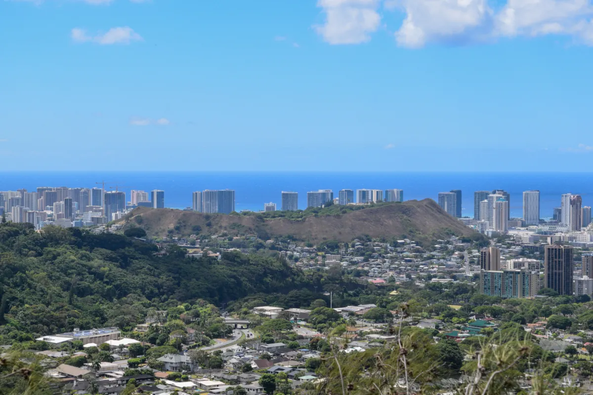
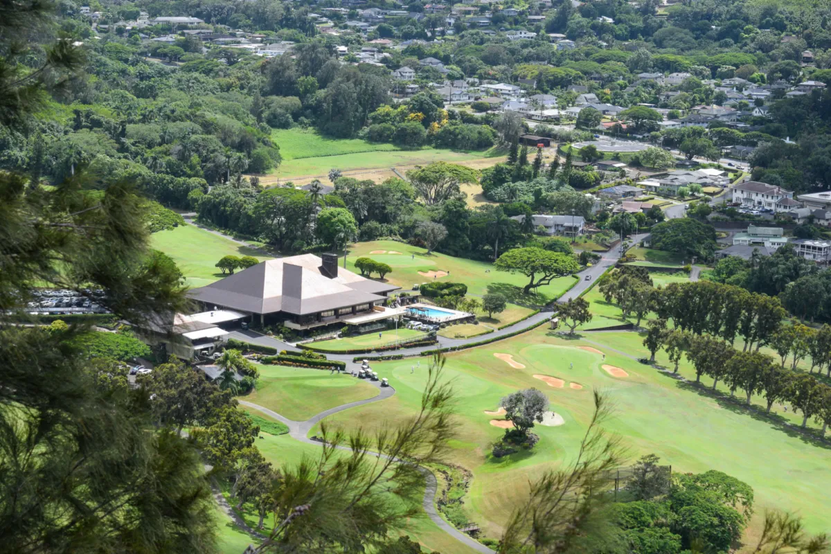
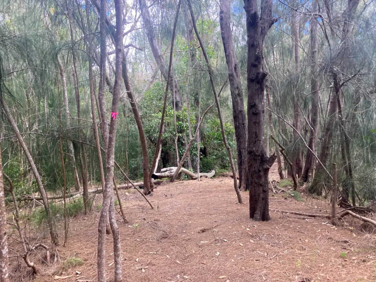
At one point, a chain-link fence appeared on our left, a critical marker for your return trip. Make sure this fence is on your right when heading back; otherwise, you might wander out of the wrong exit, not so close to your stating point. Passing the fence, we re-entered the thick ironwood forest. Here, the real climb began, 600 feet of elevation gain within the first mile. Once out of the ironwood pine, Cook pines towered above us, their distinctive silhouette a reminder of their introduction to Hawaiʻi during the plantation era as windbreaks.

Breaking free of the pines, Nuʻuanu Valley revealed itself again, its vast green expanse framed by towering ridges that seemed to stretch toward the sky. Across the way, we spotted Konahuanui, the highest peak in the Koʻolau Range, standing at an impressive 3,150 feet. The name "Konahuanui" translates to "large testicles," a reference tied to it's appearance of double bulging peaks, linked to the Hawaiian mythology of a giant tearing off and throwing his testes in anger while pursing a fleeing woman. Yikes! Scholars also speculate the name may possibly symbolize the fertile connections between the mountains and how they give water and shelter to nearby agriculture.
Further south, we traced the Waʻahila Ridge as it ascended toward Mount Olympus, known in Hawaiian as Awawaloa, which translates to "long valley." Mount Olympus, standing at 2,486 feet, gained its English name in the early 20th century when American settlers, captivated by its striking ridgelines, likened it to the mythical home of Greek gods. Westerners often renamed Hawaiian places to reflect their worldview, blending familiar mythological or religious references into the landscape. I feel that this practice disregarded existing Hawaiian names and their deep cultural significance, so I do my best to call places by their proper names.
Looking back, Honolulu Harbor peeked through the greenery, a stark contrast to the wild, untamed beauty of the Koʻolau.
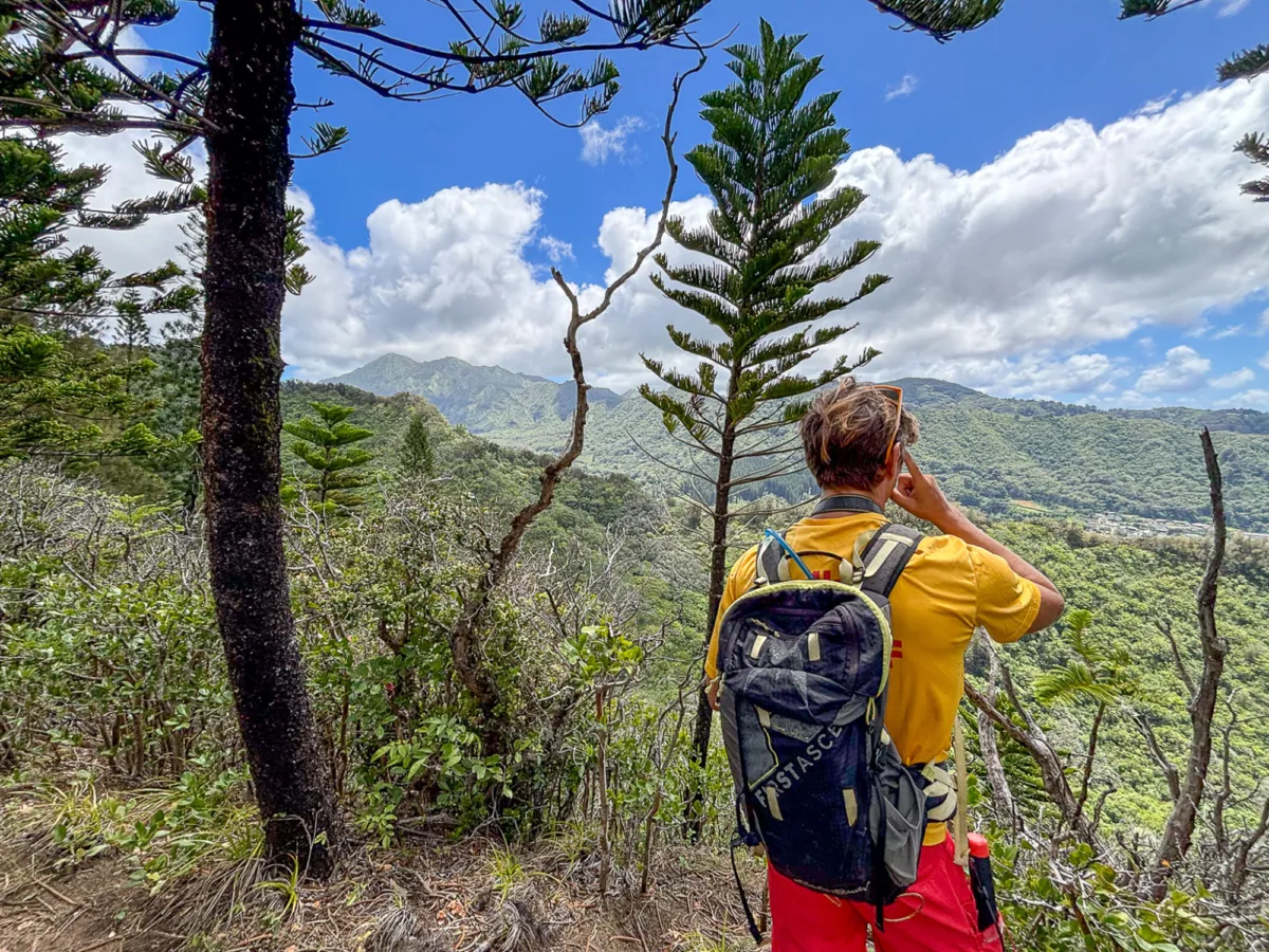
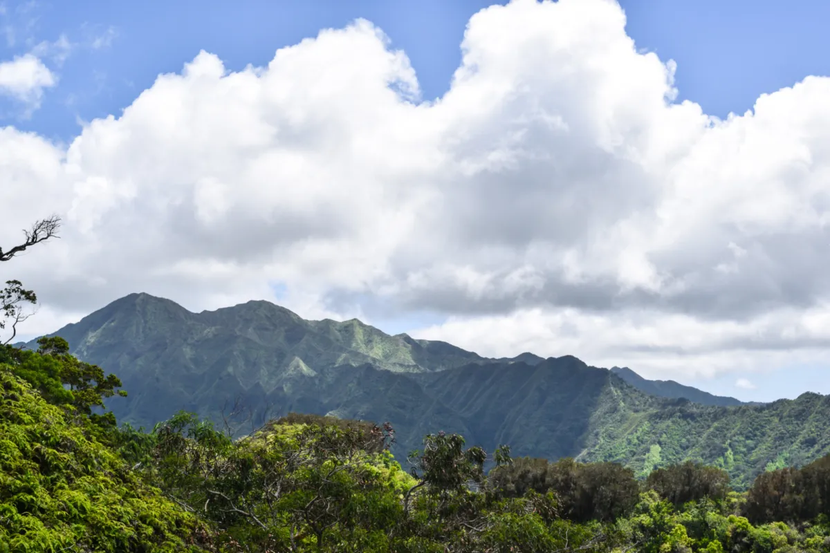
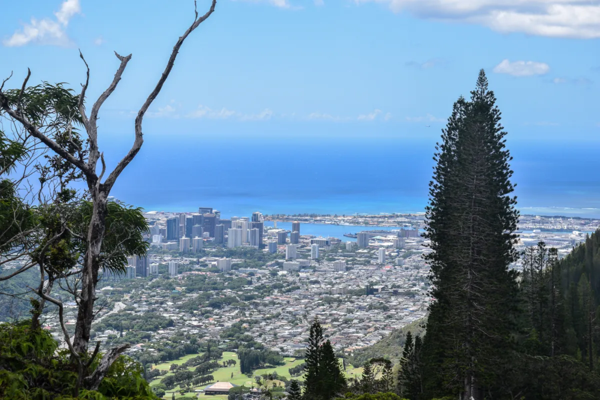
As we gained elevation, the trail transformed. The landscape shifted to native vegetation, dominated by ʻōhiʻa lehua trees. These trees, with their bright red flowers, are integral to Hawaiian culture, symbolizing eternal love and fidelity. According to legend, Pele, the goddess of fire and volcanoes, grew jealous of the handsome ʻŌhiʻa, who was devoted to Lehua. In a fit of spite, she transformed him into a gnarled tree. Heartbroken, Lehua begged the gods to reunite them, and in compassion, they turned her into the tree's blossoms so the lovers would never be separated. It is said that picking the flower from the tree symbolize tearing the lovers apart, causing their sorrow to manifest as tears that fall from the sky in the form of rain.


Under their canopy, we spotted a blooming ʻieʻie flower, its striking orange and yellow hues a highlight of the climb. In Hawaiian tradition, the ʻieʻie vine was prized for its strength and flexibility, often woven into hīnaʻi (baskets) and fish traps essential for daily life. Higher still, the Pali Highway snaked through Nuʻuanu Valley below, weaving its way past the Nuʻuanu Reservoir, a key part of Oʻahu’s water system since the early 1900s.

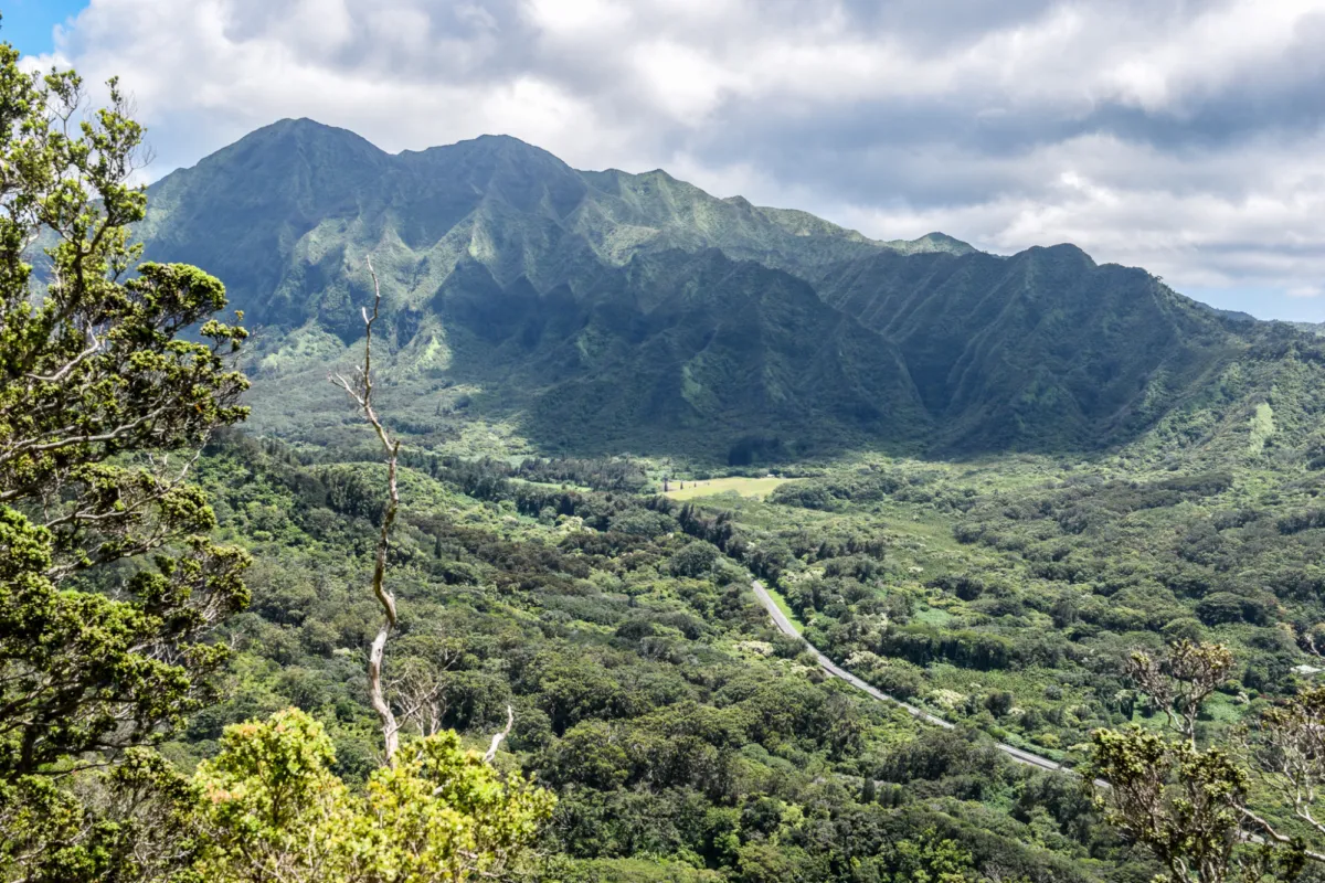
The trail steepened dramatically, cutting through uluhe ferns. These native ferns often form dense thickets, their scratchy fronds prompting me to pull on pants for protection. The effort paid off as we gained our first views of Moʻole Valley, a quiet sub-valley within Nuʻuanu steeped in Hawaiian legends. According to one tale, Moʻole Valley is home to a moʻo, mystical lizard-like guardians said to protect freshwater sources and bring balance to the land, embodying the valley’s serene and sacred nature.
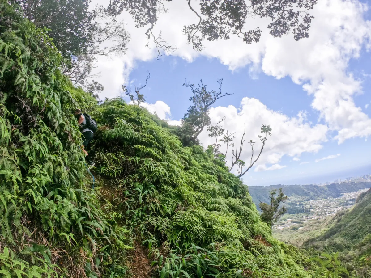

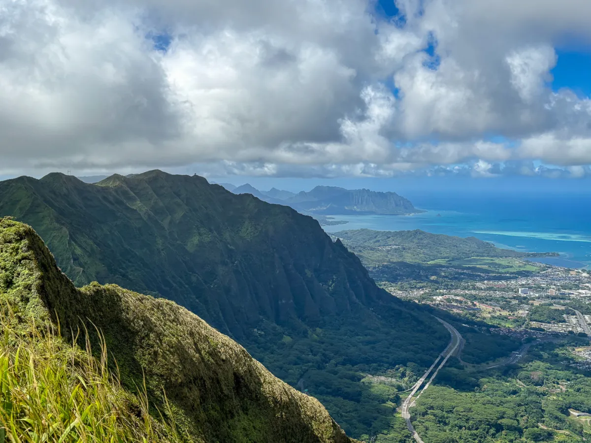
After a brief plateau, we paused to rest, taking in our first breathtaking glimpse of Windward Oʻahu through the Kalihi Saddle, with the striking "Shark Fin" peak standing out as the most iconic feature.

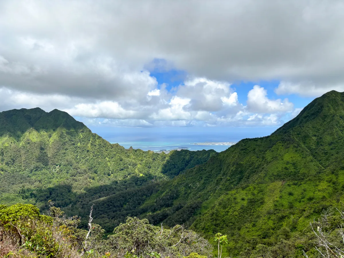
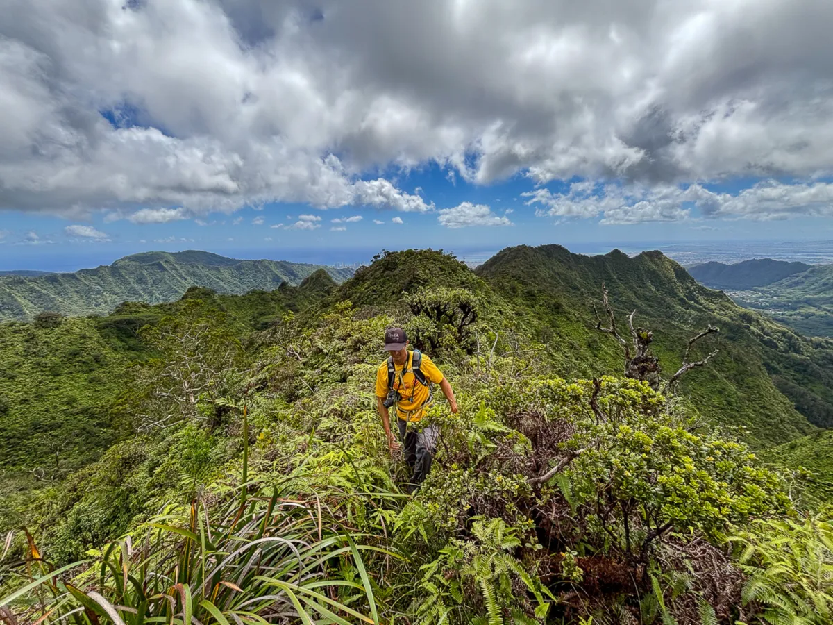
But the respite was short-lived as the trail resumed its aggressive incline. More ropes helped us navigate the steep sections, each pull bringing us closer to our goal. Cresting a hill, we finally saw Puu Lanihuli ahead.
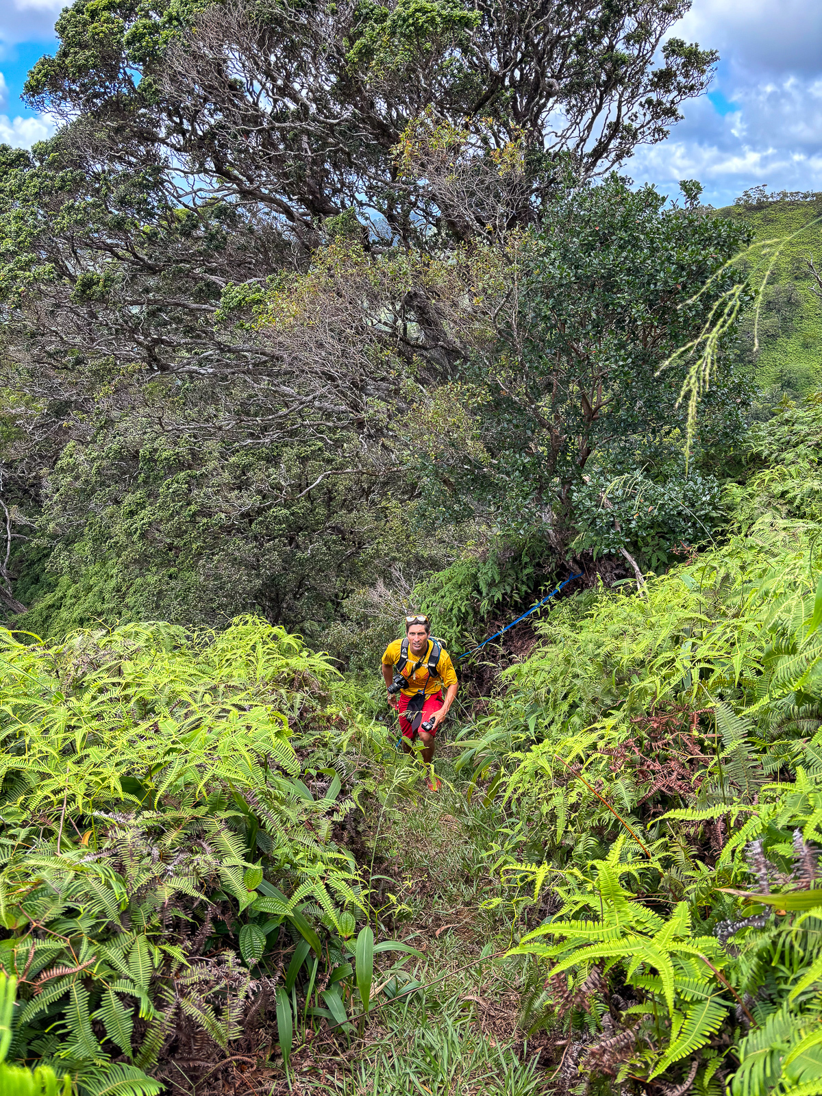
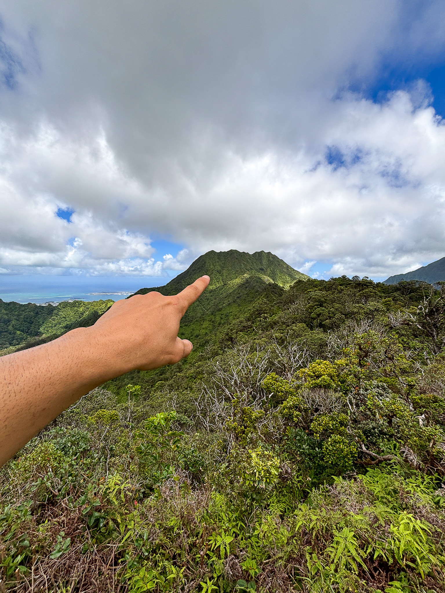

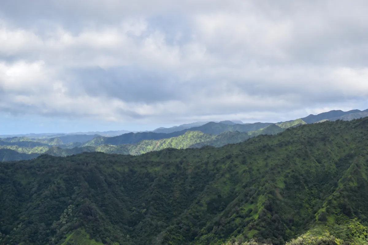
From this height we could start to see up and over the Koʻolau's dramatic ridgelines to the north. Bowman, Tripler, Halawa, and what I believe to be Aiea Ridge standing in stark relief.

The final push to the summit was a grueling half-mile climb with 600 feet of elevation gain. With grades reaching 70%, it tested our legs and resolve. But as the Kalihi Saddle came into sharper focus, we were rewarded with deeper views of East Oʻahu, including Mokoliʻi (Chinaman’s Hat Island) far below.
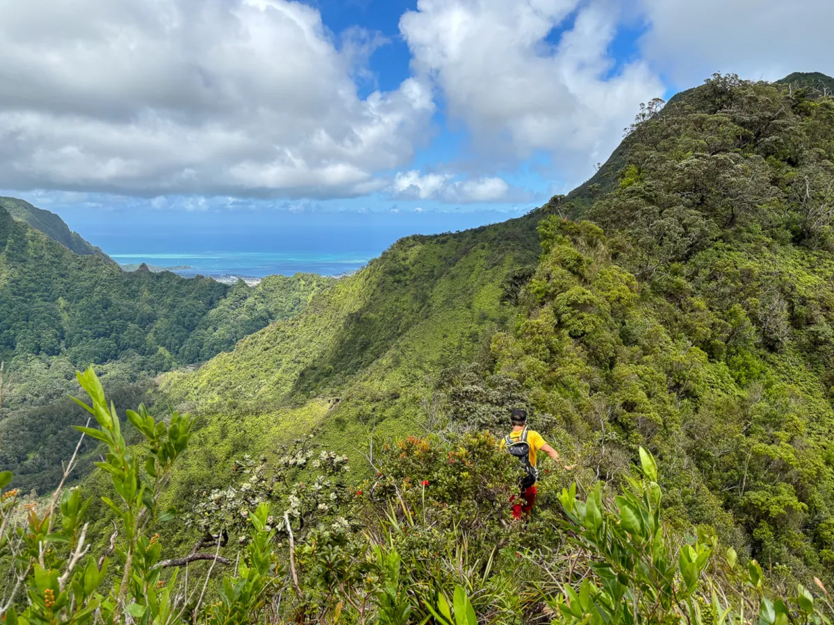
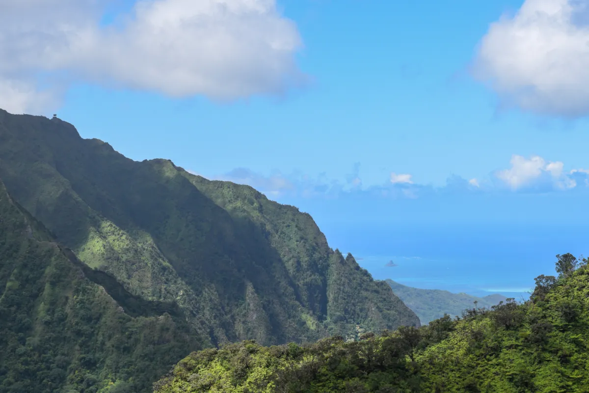
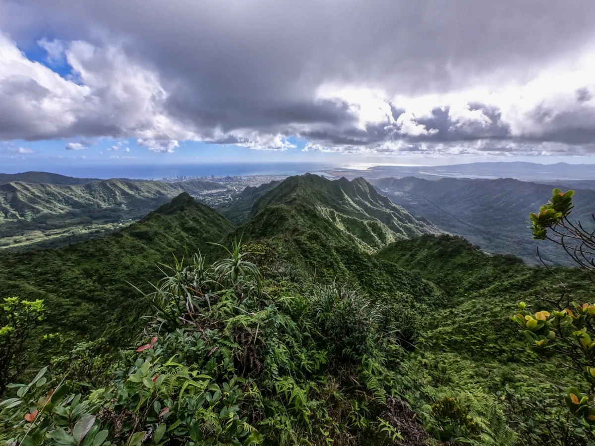
Sean reached the summit first, and I followed, cresting the ridge to a breathtaking panorama of both urban Honolulu and windward Oahu. We were now standing atop Puu Lanihuli, whose name translates to “swirling heavens,” and is steeped in cultural significance as one of the sacred peaks in the Koʻolau Range, often shrouded in mist believed to carry the presence of ancestral spirits. However, lucky for us, it was completely clear on the day we hiked it. Standing atop this revered peak, it was easy to feel the deep connection between the natural world and the stories that have shaped its history.
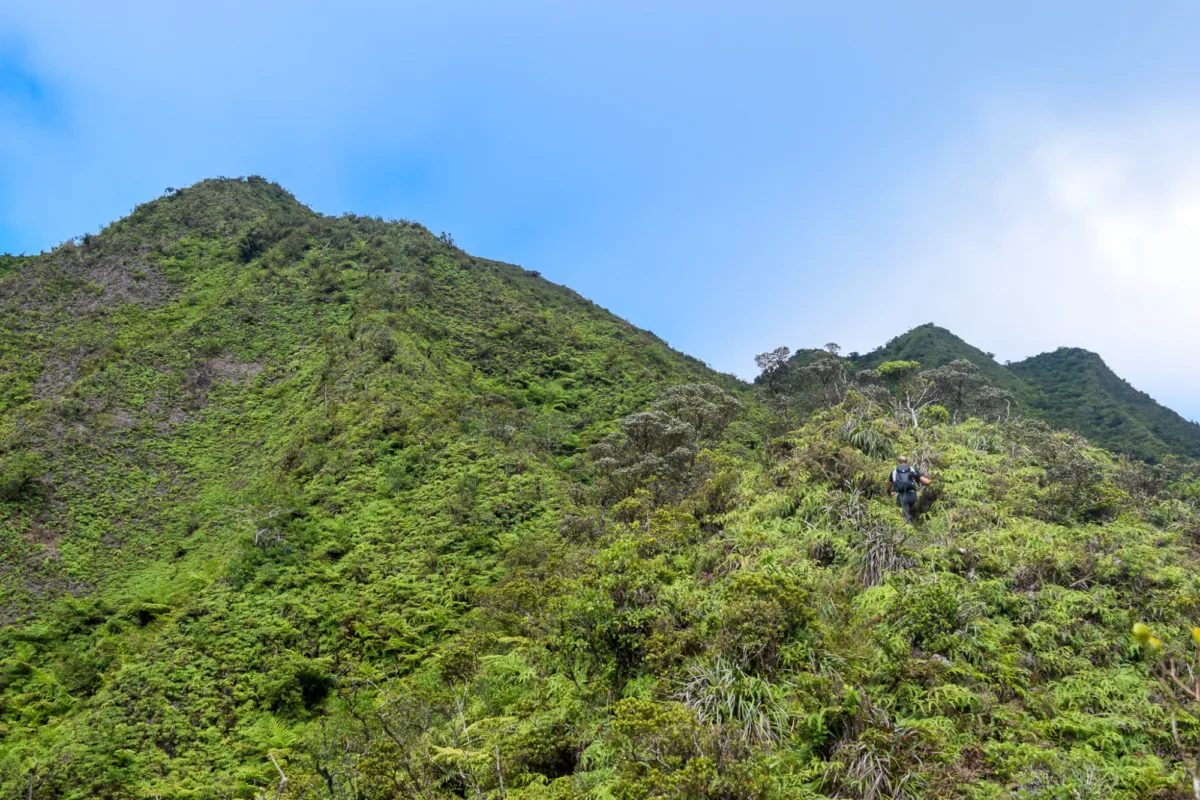
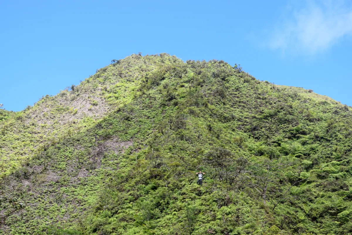
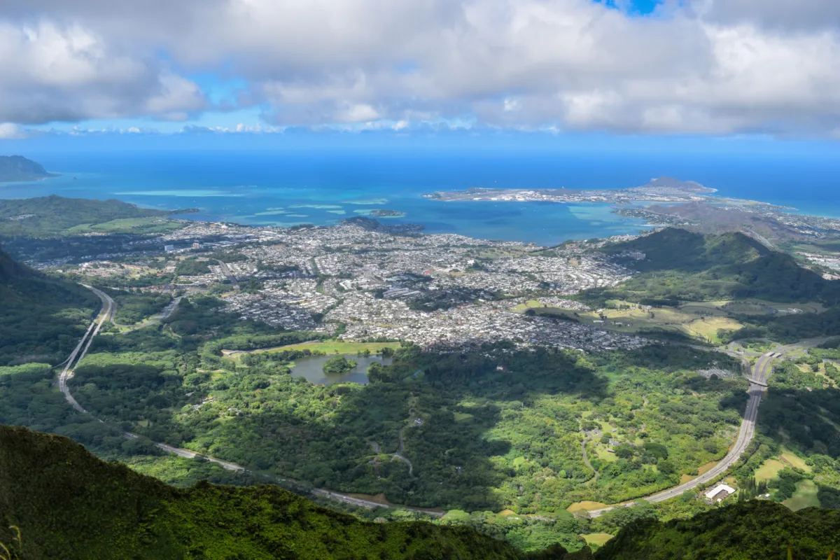
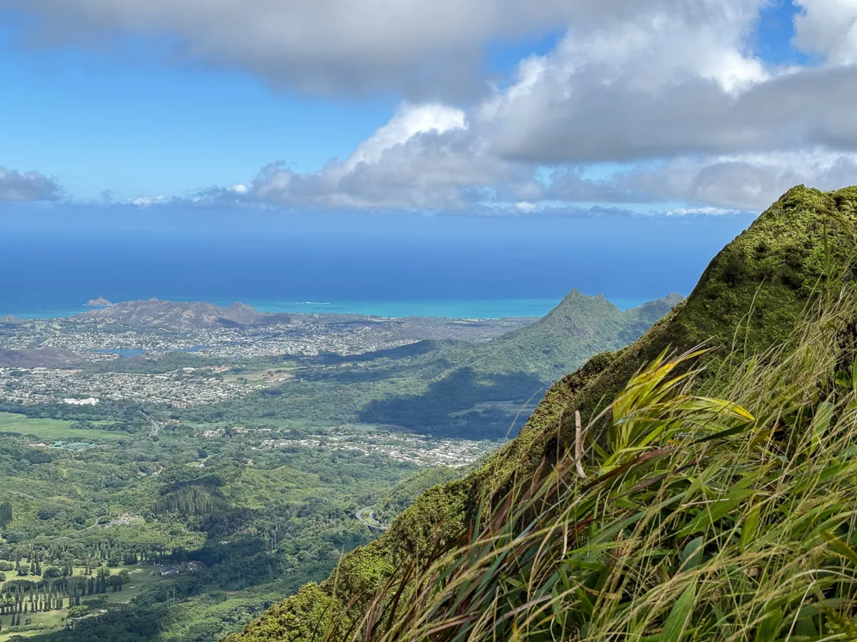
At 2,720 feet, Puu Lanihuli offered unobstructed views of Kāneʻohe Bay, Kailua stretching south, and Kualoa rising to the north. From this height, Kāneʻohe Bay looked like a painting with its turquoise waters dotted with coral reefs and the unmistakable silhouette of Mokoliʻi (Chinaman’s Hat). For those who’d rather trade hiking boots for paddles, Chinaman’s Hat Kayak Rentals offers a chance to explore that iconic islet up close, gliding over the same waters visible from the summit.
The summit was clear of clouds, and light winds kept us cool allowing us to savor the moment. After a long break of resting, stretching, and snacking, we explored the Koʻolau Summit Trail in both directions, but didn't hike far because of how overgrown and difficult the trail was to follow.
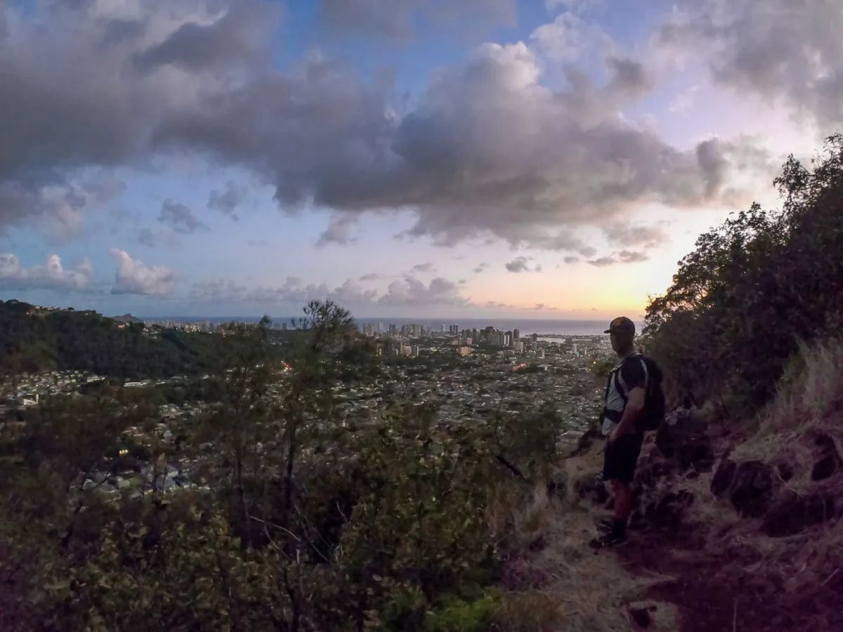
We returned back to the flat area where we left our bags, relaxed a bit longer, and eventually came to the conclusion it was time to head down. The descent was much faster, though we couldn’t resist pausing for a golden sunset on the western-facing ridge. The golden hues cast over Honolulu felt like a fitting reward for our efforts. By the time we reached the trailhead, dusk was settling in—a perfect end to a demanding yet unforgettable hike.


And if climbing steep ridgelines isn’t your style but you still want to immerse yourself in Oʻahu’s wild side, the North Shore Hiking Tour offers a guided nature hike through lush valleys to hidden mountain stream pools, led by a local expert who knows the island’s hidden gems.


