Hiking Oahu's Maunawili Falls Trail 2025
Activities featured in this post.
Post updated: November 03, 2025
While the state has temporarily closed the old route, we wrote this guide to introduce the new route accessible to hikers wanting to swim under Maunawili Falls in 2025. Uncover the secrets of Maunawili Falls and beyond in this must-read guide—because a trail with lush forests, mesmerizing mountain views, and a waterfall finale is a Hawaiian adventure you won't want to miss!
Introduction
The new hiking route is about 5 miles round-trip and takes about 5-6 hours. The trail is mostly a shaded ridge that descends into and follows a stream, so it can be muddy in some areas. Be sure to wear sturdy shoes and bring plenty of water and snacks. This small waterfall and swimming hole is a local favorite for both residents and visitors alike and is a great place to cool off on a hot Hawaii day.
If that sounds a little more intense than you’re looking for, the Shuttle to Mānoa Falls offers a shorter, easier rainforest hike with a spectacular waterfall finish. It's perfect for anyone who wants the beauty of Hawaiʻi’s trails without the long trek.
Total Distance Roundtrip: 5 miles - Elevation Gain: 1350 ft.
Important Note: The former Maunawilli neighborhood access to the trail is currently closed for realignment. Please respect the neighborhood and do not attempt to access the trail from this location. If you do, the penalty is a $1000 fine for trespassing. Please do not, loiter around cars, play loud music, or yell in the streets. A few years ago the neighborhood petitioned the state to remove Maunawilli Falls Trail from the sanctioned list of state hiking trails because of the litter and graffiti that was being left behind by hikers. Help protect this place by packing out all of your trash, and pick up any litter you find along the way.
However, you can still access the falls from the Maunawilli Demonstration Trail. The trailhead for this trail is located off the Pali Highway, about 1.5 miles on the windward side of the two tunnels. However parking at the trailhead is limited to 2 hours and there is not very many parking spaces. Also, the parking lot is a high theft area. For all of these reasons, it is best to carpool, uber, or have someone drop you off. Source:State of Hawaii DLNR: Nā Ala Hele Trail & Access Program
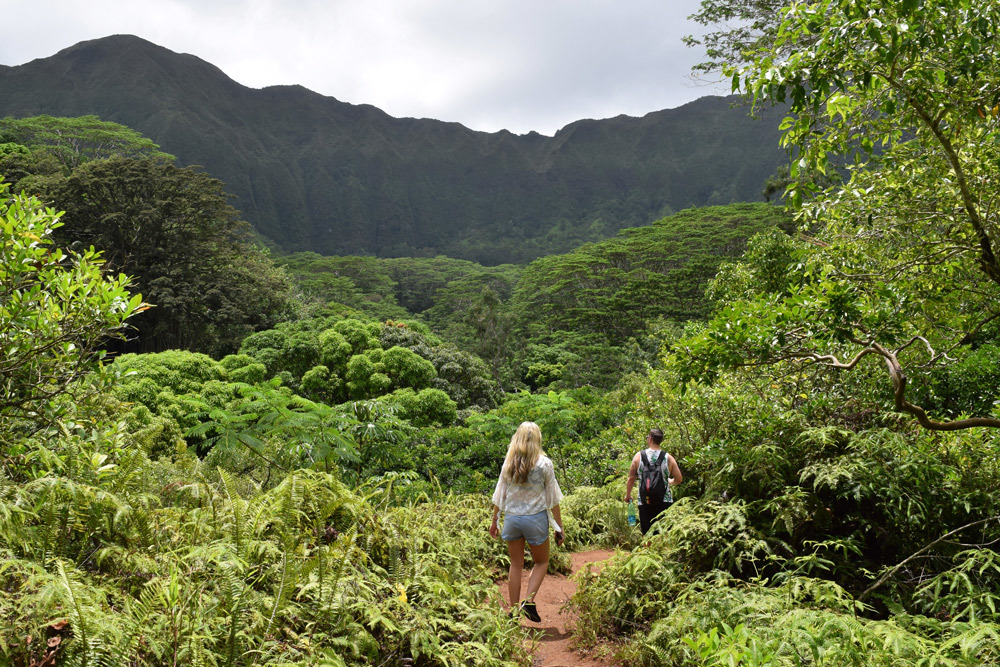
Starting from the Maunawili Demonstration Trail, you will begin the gradual uphill trail through the lush forest. Thankfully, a boardwalk has been placed in the hillside to help with the climb. Once your at the top of the hill, your greeted with up close views of the Ko'olau Mountain Range. This portion of the trail is about 1.7 miles and gains about 600ft of elevation, and takes an average time of 90 minutes. Here is where you will find the Maunawili Demonstration Trail junction with the Maunawili Falls trail.
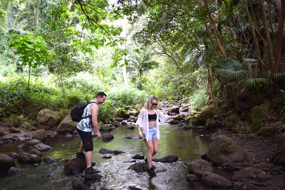
You will then begin your 0.75 mile descent of 550ft (about 20-30 minutes) and once at the bottom, you're in the Maunawili Stream. Here, start to walk upstream. The trail starts on the left side of the stream and proceeds to cross the stream multiple times. Many hikers choose to simply walk up the middle of the stream, rock hopping as they go.
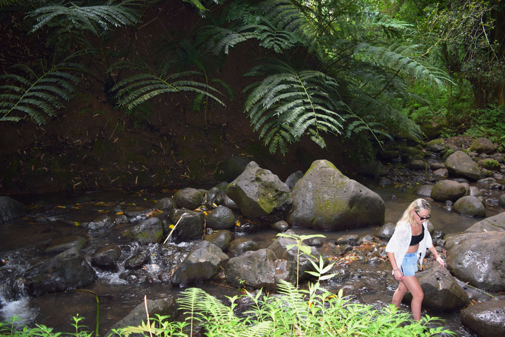
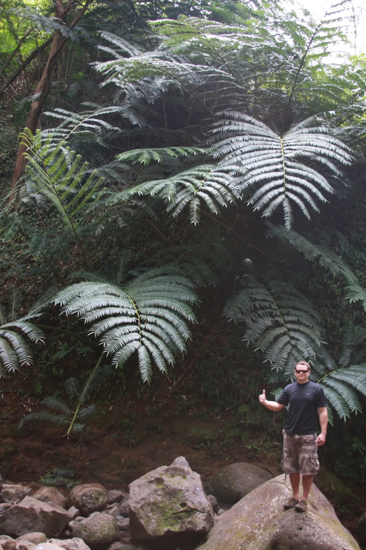
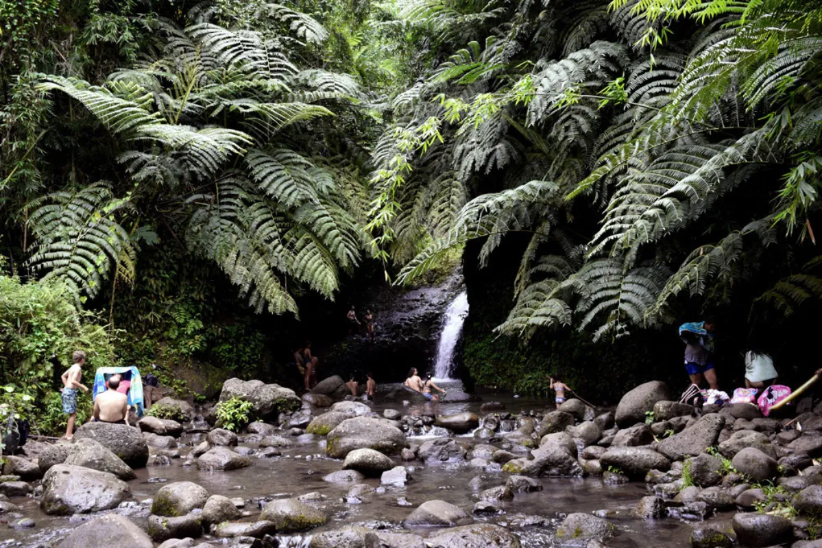
0.1 miles later and you've made it! The reason why hikers choose this trail over the nearby Manoa Trail is because the ability to swim underneath the falls in the large deep pool. Another fun thing to do is to swim across the pool, and relax next to the waterfall. When your ready, jump off the rocks near the falls into the deep pool below. On most days you’ll see local kids doing backflips, cartwheels, and other acrobatics into the pools while a crowd of tourists watch.
This waterfall pool is similar to the one visited on the North Shore Hiking Tour, a great option for anyone who’d prefer to explore with a local guide leading the way to a more secluded, off-the-beaten-path swimming spot.
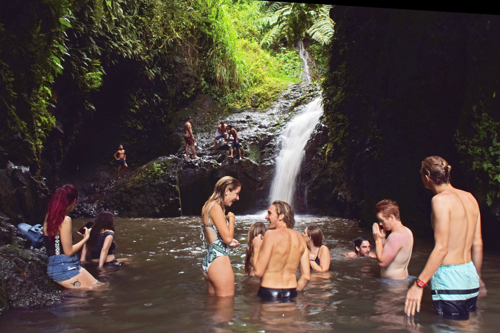
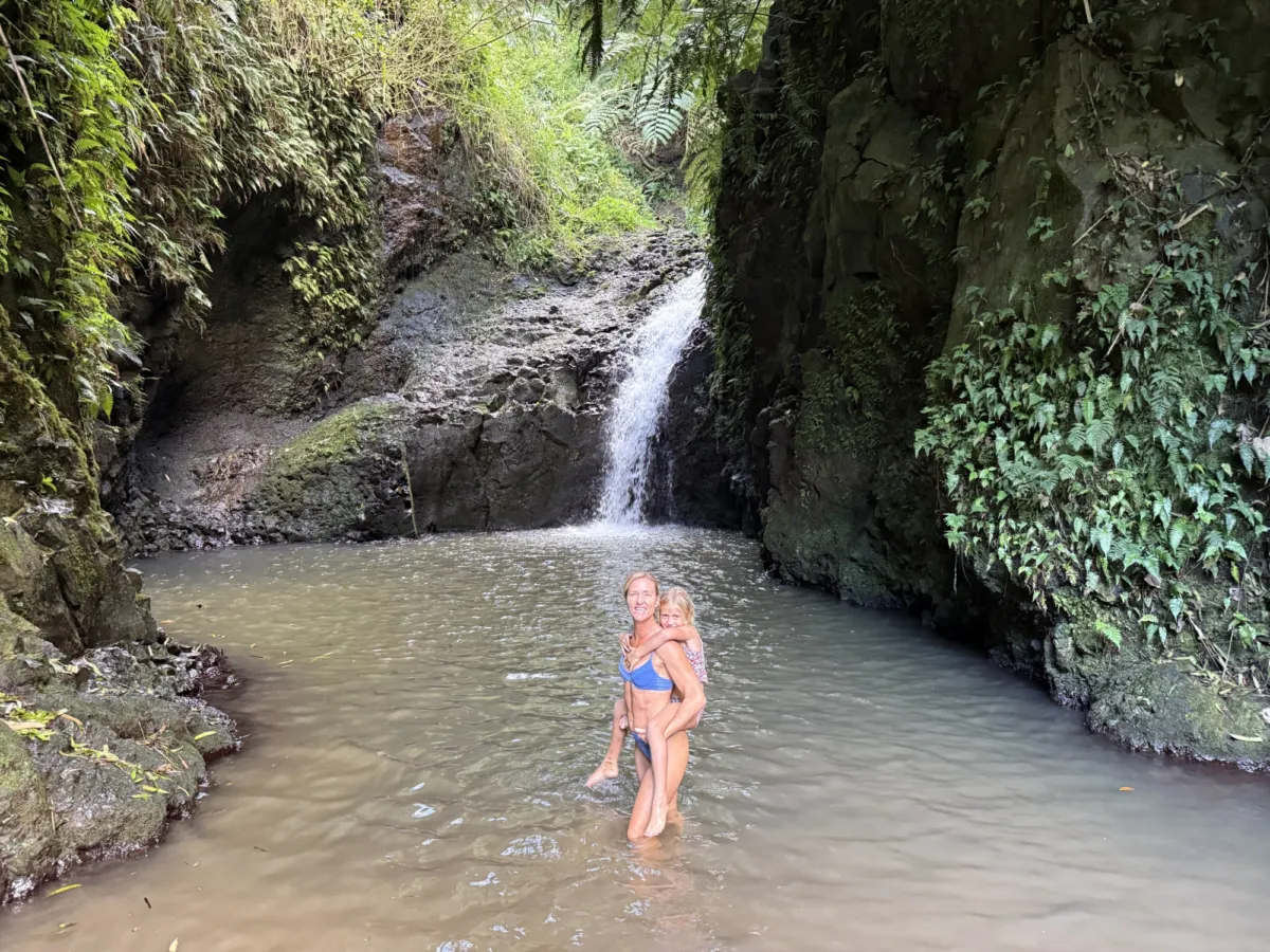
This trail, while challenging at moments, is a good option for active families with children. Whenever I visit the Maunawilli waterfall there are usually 2 or 3 families with children ages 6+ having a great time swimming in the stream pool below the falls.
For those who want to experience similar hidden gems without worrying about directions, parking, or logistics, the Private Full Day Adventure Retreat offers full-service pickup from your hotel and a customizable day of exploring Oʻahu’s secret waterfalls, scenic lookouts, and local favorites, all with a private guide leading the way.
Maunwili Trail Summary
- Trail Section 1: Maunawili Demonstration Trail
- Distance: 1.7 miles
- Elevation Gain: 600ft
- Time: Roughly 90 minutes
- Highlights: Boardwalks, gradual uphill, and up-close views of the Ko'olau Mountain Range
- Trail Junction: Intersection with Maunawili Falls Trail
- Ready to switch gears? This is where the Maunawili Demonstration Trail kisses the Maunawili Falls Trail. Pucker up!
- Trail Section 2: Descent to Maunawili Stream
- Distance: 0.75 miles
- Elevation Loss: 550ft
- Time: About 20-30 minutes
- To the waterfall
- Distance: 0.1 miles
- Highlights: Multiple stream crossings, rock-hopping, swimming under the falls, and basking in the glory of the pool.
- Local Performances: Backflips, cartwheels, and acrobatics into the pools. A free show!
Frequently Asked Questions: Hiking to Maunawili Falls
Is the Maunawili Falls hike safe?Safety First: Like any hike, safety is paramount. This trail is generally considered safe, but always remain alert. You're navigating through forest and stream terrains that can be slippery and unpredictable.
What gear should I bring? Essential Gear: Bring a sturdy pair of hiking boots with excellent traction, a hat for sun protection, and a water bottle to stay hydrated.
How are the trail conditions? Mud Alert: This trail can get muddy, especially after rainfall. But hey, a little mud just adds character, right?
Any tips for hiking in muddy conditions? Mud Master: Use a walking stick for balance and wear boots with deep treads. Avoid stepping on vegetation; it erodes the trail and disrupts native plant life.
Is the trail accessible for different age groups or mobility levels? All Ages, Sort Of: While the trail can be enjoyed by all age groups, it's not recommended for those with mobility issues due to uneven and sometimes slippery conditions.
Anything else I should know? Wildlife Watch: Look out for local wildlife (pigs!) they are generally non-aggressive but maintain a respectful distance. Pack It In, Pack It Out: Respect the aina (land) by packing out whatever you pack in.
